Nicholas Brand
About Me
My name is Nicholas Brand. I was born and raised in Winona, Minnesota, and currently reside in Sartell, MN. I am a GIS Developer with a strong background in geospatial analysis, topographic modeling, and web development. I graduated from Arizona State University with a Bachelor of Science in Geographic Information Systems, where I developed expertise in spatial data analytics, programming, and field research. My work focuses on applying GIS to solve real-world problems in areas such as precision agriculture, environmental monitoring, and natural hazard analysis.
I am passionate about leveraging geospatial technologies to create impactful solutions. My skills include programming in Java, C++, Python, JavaScript, HTML/CSS, SQL, C, R, and Bash as well as proficiency in tools like ArcGIS, QGIS, and remote sensing platforms. I enjoy working on projects that combine data analysis, visualization, and fieldwork to address complex environmental and agricultural challenges.
I am currently seeking a role as a GIS Developer, Senior GIS Analyst, or Web Developer where I can apply my technical skills and research experience to contribute to innovative projects. I thrive in collaborative environments that encourage professional growth and provide opportunities to expand my expertise in GIS applications.
Relevant Work Experience
Telcom Constuction - GIS Developer
(August 2025 - Present)
- Built “Map Engine”—a custom web application that uses REST API to pull user-specific AGOL content into a tailored interface with interactive viewers, editing tools, bookmarking, printing, and integrated NOAA radar data.
- Developed ArcGIS Pro packages with Python scripts to automate construction printing, billing, and quality control workflows—including auto-filtering queries, applying localized coordinate systems, and generating standardized maps using a custom nationwide grid system.
- Engineered a QC automation tool that updates queries, validates data fields, traces snapped points, auto-populates specified fields, and delivers detailed error reports with designer accuracy metrics.
- Designed and deployed FME projects for automated data integration, scheduled to run multiple times daily on company servers.
UMN, Precision Agriculture - Researcher / Field Coordinator
(May 2024 - December 2026)
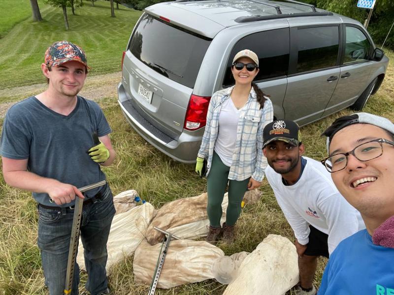
- Communicated directly with stakeholders to coordinate on-site field teams, (for soil, water, and crop sampling using various tools: Lysimeters, Dualex, Fieldscan Crop Circle Phenom) handle perscriptions with farmers, and share research with the public.
- Built Python and R scripts to process and analyze large datasets for field and lab efficiency.
- Led team in developing Precision Agriculture On-Farm Research Network Website and maintaining the Precision Agriculture Center Website.
- Performed advanced geospatial analysis using LiDAR data, drone imagery, and weather data to create a robust geospatial database in QGIS, SMS Basic, ArcGIS, and Yield Editor.
City of Winona, Park & Rec - Assistant Manager
(April 2023 - May 2024)
- Used geographic data to create new digital maps for updated Trail & Street maintenance.
- Aided trail construction by creating new maps, analyzing soil integrity, and assessing erosion likelihood.
- Managed 3 public facilities and assisted with Adult Sports and Special Events throughout Winona.
UMN, Precision Agriculture - Internship
(May 2022 - July 2023)
- Measured boundary lines using survey equipment to update maps.
- Used and organized source data from Landsat & Drone imagery.
- Collected soil, water, plant, and air samples from lysimeters, fields, streams, and collection areas.
- Performed geochemical analysis with pXRF & XRF spectrometers of thousands of samples.
City of Winona, Park & Rec - Aquatic Assistant Manager / Site Manager
(May 2017 - August 2021)
- Measured boundary lines using survey equipment to update maps.
- Used and organized source data from Landsat & Drone imagery.
- Collected soil, water, plant, and air samples from lysimeters, fields, streams, and collection areas.
- Performed geochemical analysis with pXRF & XRF spectrometers of thousands of samples.
Education
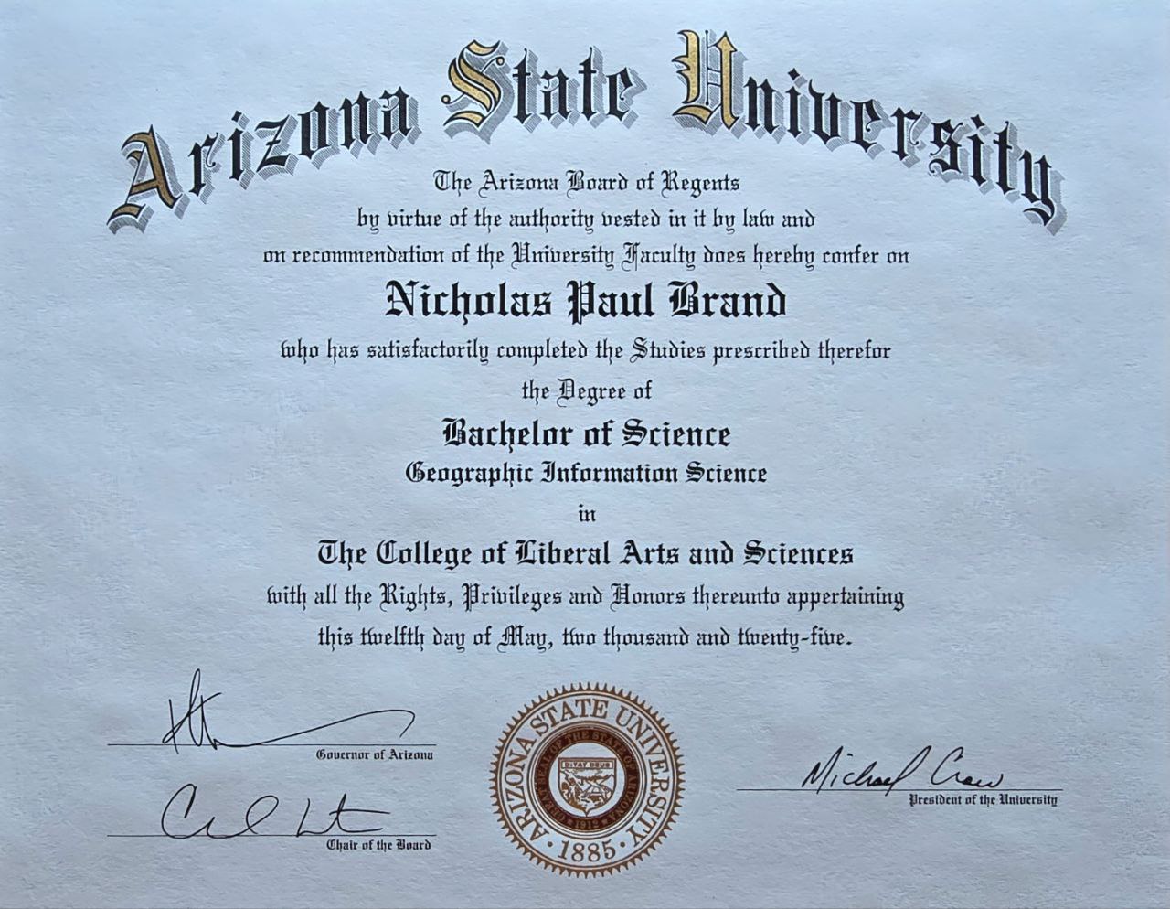
Arizona State University - Geographic Information Science (BS)
(August 2023 - May 2025)
- Relevant Courses: Fundamentals of Coding, Geographic Info Science 1-3, Stats for Geography & Planning, Adv Stats Geography & Planning, Cartography & Georepresentation, Geodesign and Urban Planning, Env Mgmt Systems & Strategy, Remote Sensing & Geo Analysis of Natural Resources & Environment, Basic Soil Science.
Skills
Programming Languages:
- ArcPy, Java, C++, Python, JavaScript, HTML/CSS, SQL, C, R, Bash
Tools and Platforms:
- GitHub, Windows, Esri Suite (ArcGIS, Collector, etc.), Visual Studio, RStudio, Web Soil Survey, Citrix, GoDaddy, Squarespace, Drupal, MNTopo, SMS Basic, Yield Editor, QGIS, PlanetGIS, USGS Landsat, MNTopo
Projects
Custom Online Map Viewer

A custom interactive travel map tracking my journeys, built with Leaflet.js. Features dark mode, custom markers, and vacation routing.
Effect of Slope & Climate on Yield
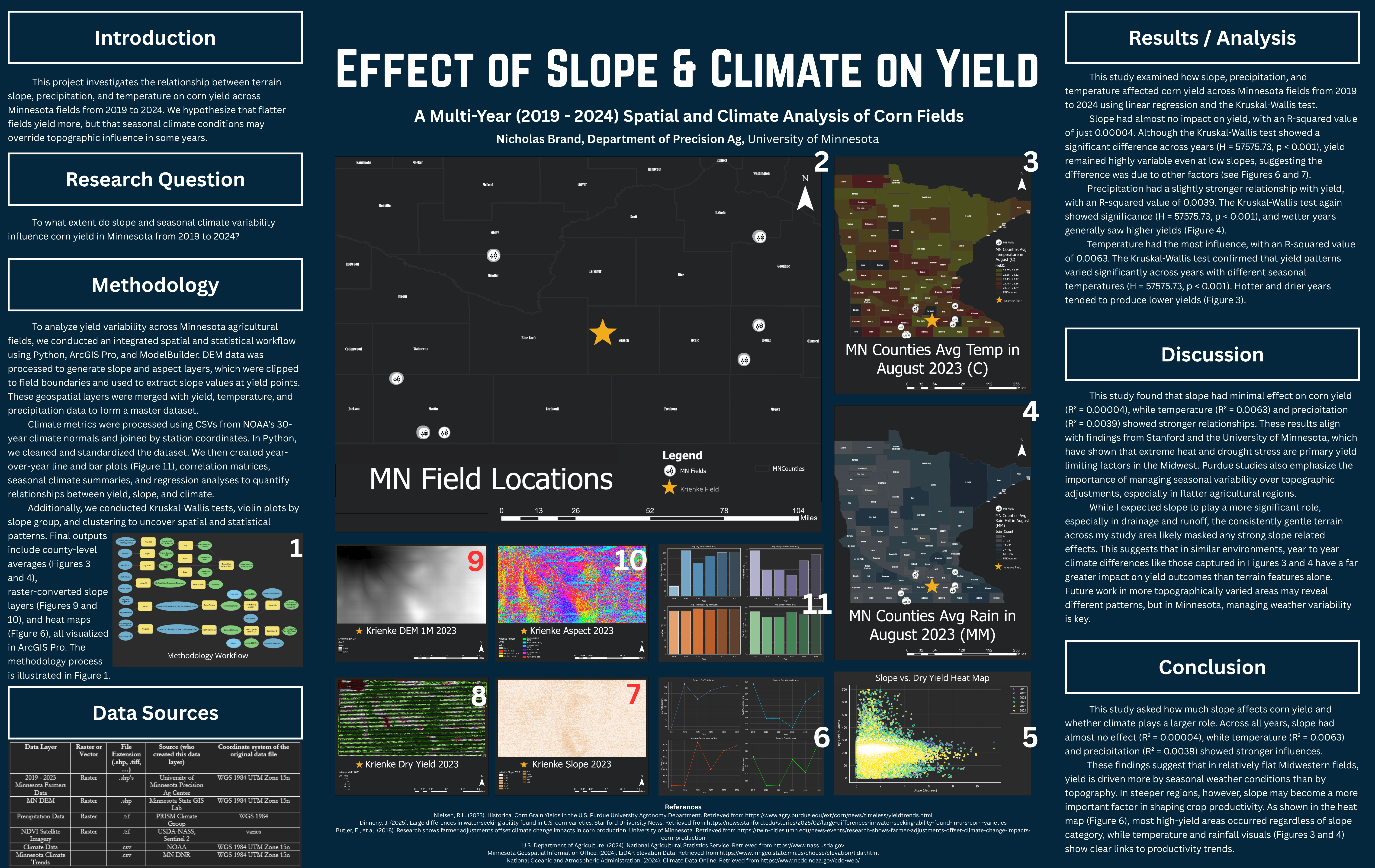
A capstone analysis investigating the relationship between topographical slope, climate variables, and agricultural yield.
PAC On-Farm Research Network
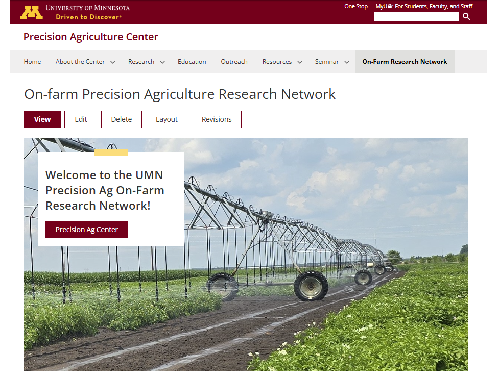
The PAC On-Farm Research Network is a collaborative initiative aimed at advancing precision agriculture practices through on-farm research and data-driven insights.
Precision Nitrogen Managment
Research on optimizing nitrogen application strategies to improve crop yield while minimizing environmental impact.